I am queen of the complicated plan. Doing small sections of a long distance hike means you need a drop off crew and a pick up crew. This may require a bit of finagling...or downright bribery. Lately I've been paying my adult children quite a bit of cash for these services; but hey, hobbies/addictions are rarely cheap.
My hiking partners, Callie and Sarah, were game to throw caution to the wind and gamble on getting a hitch, but ultimately I played it safe and paid off kid #4 to come get us. Although, we did end up accepting a ride from two jovial hunters to help us get down off the forest road that was sure to really piss off said kid who does not own a "forest road approved" car.
Yep, this plan just kept getting more complicated...I do reign supreme. Be as it may, I am now 10.3 miles closer to my 500 mile goal on the PNT. (My third long distance trail out of five I hope to get 500 miles on.) I'm slowly getting there - one mile and one dollar at a time.
My "things to know" list about Swift Creek is below for those interested.Happy "expensive but worth it" trails.
Things to know:
1) The trail is totally brushed out and in great shape! THANK YOU PNTA TRAIL CREWS!
 |
| You all rock! |
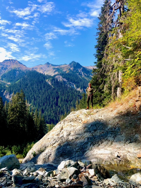
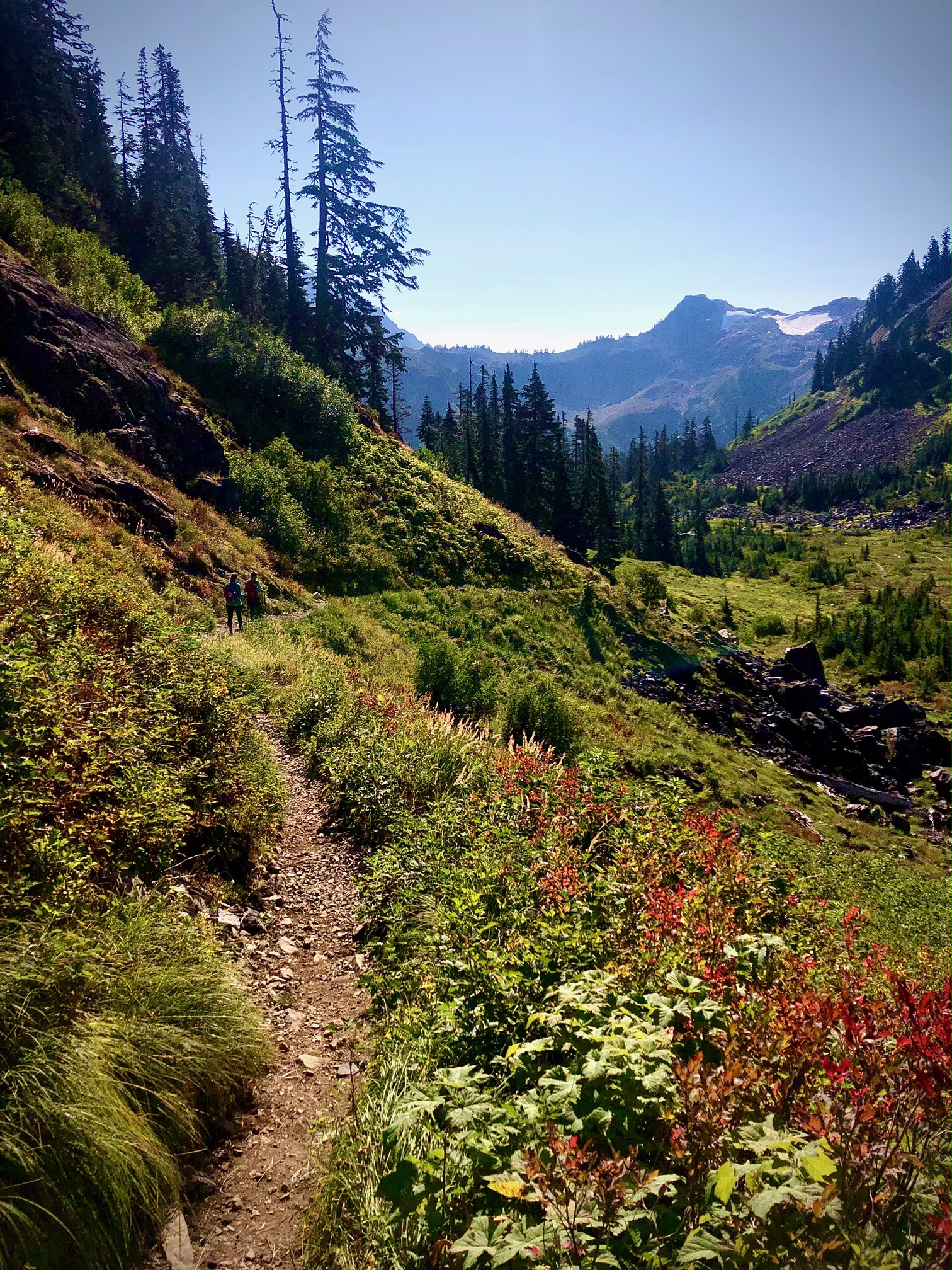
2) If you prefer hiking down better than up, you'll want to start at the Lake Ann TH on Mount Baker. (Kid#1 got bribed for that drop off.) I expected a much steeper decline, but the first couple of miles after the Swift Creek intersection are mostly a traverse, with much better views than I anticipated. It is also LOADED with berries!! |
| Hard to hike when you are picking berries |
 |
| Decline + old knees=learning to use KT tape |
3) Bear!! Just a little guy (though he did give us quite the startle!) - but where is momma? Eek...this is when we realized none of us really knew how to operate the bear spray can. So heads up, maybe check out those directions first. ;)
 |
| "Maybe we should read this" |
4) The creek crossing is not bad this time of year, though still a bit of a challenge. The place to cross is not obvious, and you really can't see the trail on the south side until you are right on it. (Our side was marked with some pink tape.) Thankfully this is when we first met our hunter friends, and they let us know it was the best place to cross and the trail was right there.
5) The other crossing has an awesome log to cross on. I HATE log crossings, but this one is actually fun. It's HUGE! |
| Looks scary from below |
 |
| But it's not |
6) The end of the trail dumps you out with no sign to go right or left. Go right (which is up - feels counter intuitive) and you'll soon see all the disgusting garbage to let you know the Hot Springs parking lot is near. The actual Hot Springs are another half mile-ish off trail, and thankfully not as disgusting.  |
| Cheers to slime and stink |
7) You can hike another 4 miles of PNT road walk down to Baker Lake Road to avoid all those pot holes, which was my original plan. Soaking in the springs was a better plan, except now I'll have to get those 4 miles somewhere else. Though there was NO WAY we would have had time to make it to the road by the time I told my daughter we'd be there...which is why a Garmin is good to have to communicate change of plans. There is no cell service at all once you leave the Lake Ann Parking lot.
.jpeg)

 Things to know:


No comments:
Post a Comment